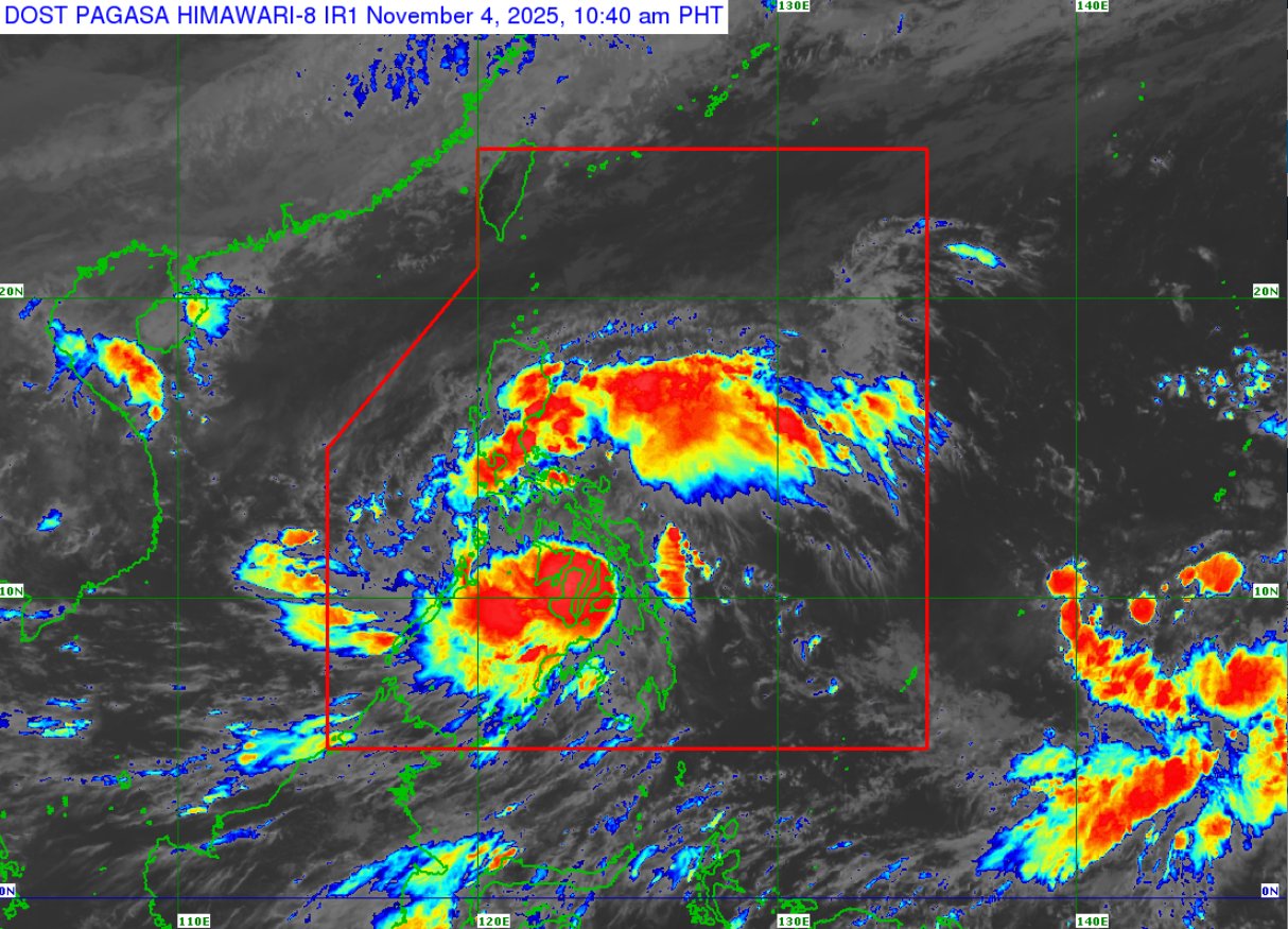
MANILA — Typhoon Tino slightly weakened on Tuesday morning but continued to threaten Negros and Western Visayas, the Philippine Atmospheric, Geophysical and Astronomical Services Administration (PAGASA) reported.
As of 10 a.m., the typhoon was located in the vicinity of Bacolod City, Negros Occidental, packing maximum sustained winds of 140 km/h and gusts reaching 195 km/h.
Tropical Cyclone Wind Signal No. 4 remains hoisted over:
-
Northernmost Negros Oriental
-
Northern Negros Occidental
-
Guimaras
-
Capiz
-
Iloilo
-
Central and southern Antique
-
Southern Aklan
PAGASA warned that Tino’s violent winds could topple power lines, uproot trees, and severely damage houses and infrastructure.
The typhoon is expected to continue crossing Western Visayas and northern Palawan before emerging over the West Philippine Sea by Wednesday morning, and exiting the Philippine Area of Responsibility (PAR) by late Wednesday or early Thursday.
Tino and the shear line will bring widespread rains over eastern and southern Luzon, Visayas, and northern and western Mindanao through Thursday noon, with torrential rains forecast over Negros Occidental, Guimaras, Panay, and Palawan from Tuesday through Wednesday morning.
Authorities warned of the continuing threat of severe flooding and landslides in affected areas.