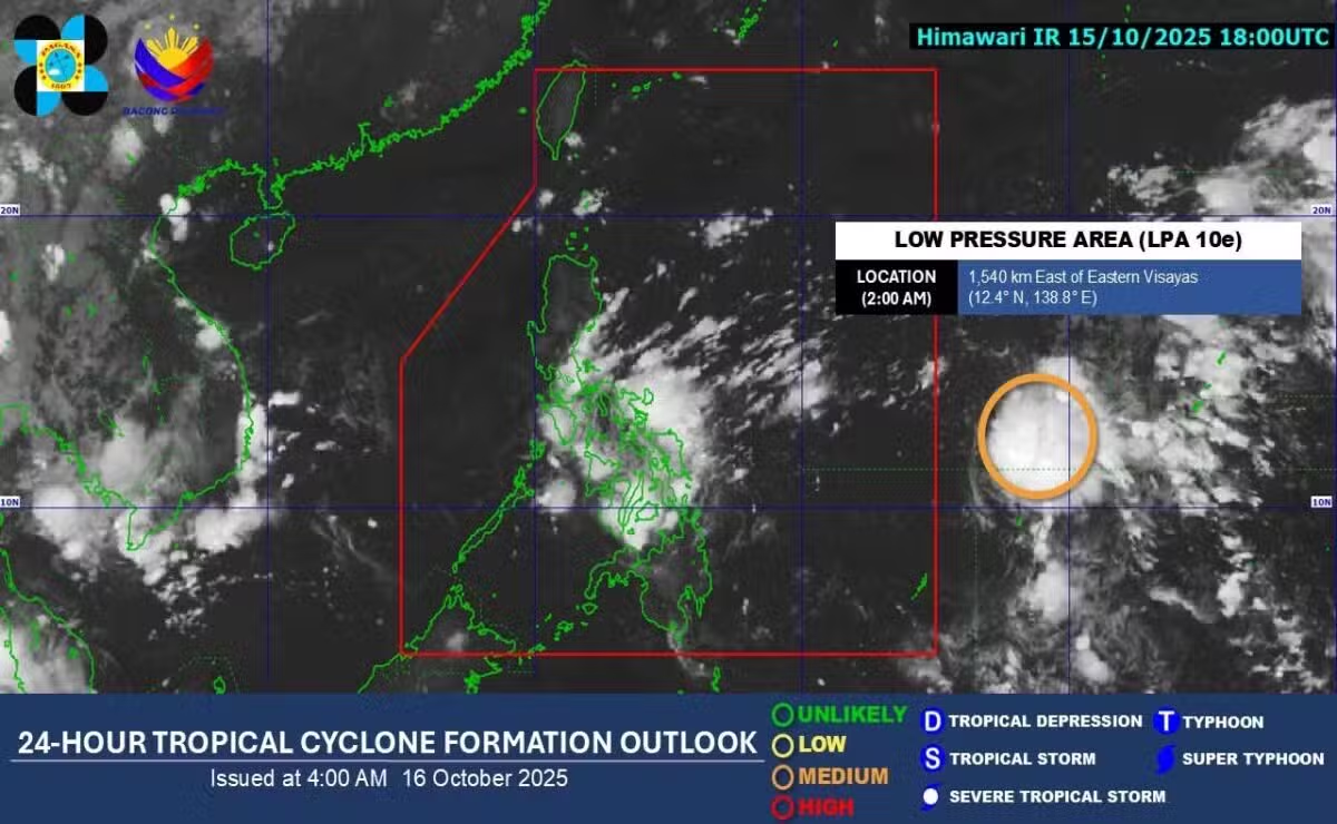
A low-pressure area (LPA) designated as 10E is projected to enter the Philippine area of responsibility (PAR) on Thursday, October 16, 2025, and is highly likely to develop into a tropical cyclone within the next 24 to 36 hours, according to the Philippine Atmospheric, Geophysical and Astronomical Services Administration (Pagasa).
As of Thursday morning, the weather disturbance was located 1,505 kilometers east of Eastern Visayas and has yet to directly affect the country. However, Pagasa said it continues to closely monitor the system as it moves closer to the Philippine archipelago.
“We expect that this will enter our area of responsibility today, most likely as a low-pressure area,” said Pagasa weather specialist Loriedin de la Cruz. “But based on our analysis, within the period of 24 to 36 hours, this has a high chance of developing into a tropical cyclone,” she added.
De la Cruz also noted that the weather system’s projected movement is generally west-northwestward, making a possible landfall between Cagayan and Isabela highly likely. However, she said there remains a possibility that the system’s track may shift further south, potentially approaching the Bicol Region first before affecting northern and central Luzon.
Pagasa advised the public to remain vigilant for possible changes in the weather forecast and to follow official updates as the LPA continues to develop. If it intensifies into a tropical depression, it will be given a local name, marking the next tropical cyclone to enter the PAR this month.